
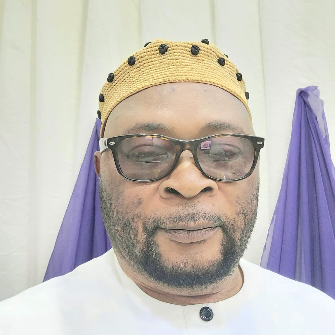
Dr. Sam Eno
The UN General Assembly adopted the “Correct the Map” resolution on 4 September 2026, by 164 votes to 1, with six abstentions. The resolution specifically promotes Equal Earth and other equal-area approaches; it does not legally ban Mercator.
But the more important question is: WHAT DOES THIS ACTUALLY DO FOR AFRICA, BEYOND MAKING AFRICA LOOK BIGGER?
1. The immediate economic benefit is essentially zero
This is the first distinction I would make.
The resolution does not put money into Africa, increase African GDP, attract investment automatically, reduce poverty, or change the value of African natural resources.
If Nigeria, for example, adopted Equal Earth maps tomorrow, nothing happens to Nigeria’s oil reserves, GDP, exchange rate, trade balance or foreign investment simply because the map changed.
So anyone claiming that the UN map resolution will produce an immediate economic windfall for Africa is overstating it.
The economic significance is indirect and long-term.
2. Where the real significance lies: perception
This is where I think our interpretation is particularly interesting.
Maps are not merely technical instruments. They are also visual representations of the world.
For generations, millions of children have looked at Mercator maps and unconsciously absorbed a particular visual hierarchy:
Europe and North America appear enormous; Africa appears surprisingly small.
Yet Africa is about 30.3 million km², and is roughly 14 times the size of Greenland. It is large enough to contain the United States, China, India and much of Europe within its territory.
Equal Earth changes that visual experience because it preserves relative area.
Equal Earth
That matters particularly in education.
A Nigerian child who repeatedly sees Africa represented as the enormous continent it actually is receives a subtly different geographical imagination from a child who repeatedly sees Africa compressed between Europe and the Atlantic.
3. There could be an important psychological and educational dividend
This may sound intangible, but it isn’t necessarily insignificant.
For decades, African intellectuals have talked about coloniality of knowledge, the way inherited systems of classification and representation can influence how people understand themselves and the world.
The map is one small example.
The UN resolution itself recognizes that distortions in continental representation can have cognitive, educational, cultural, geopolitical and socioeconomic effects.
That is much more consequential than simply saying:
“Africa now looks bigger.”
The deeper message is:
Africa was never small. Our representation of Africa was distorted.
That distinction matters.
4. It could influence how Africa’s economic geography is understood
This is potentially more interesting economically.
Africa is not simply a collection of poor countries at the bottom of a conventional map. It is a gigantic geographical platform containing:
enormous agricultural land;
major oil and gas reserves;
critical minerals;
huge solar and wind potential;
extensive forests;
freshwater systems;
rapidly growing cities;
a population exceeding 1.5 billion;
and some of the world’s largest areas of relatively underdeveloped land.
Equal-area representation makes the physical scale of this economic geography much more apparent.
That could affect education, investment presentations, development planning and international discourse.
But again, the map doesn’t create these assets. It makes them harder to psychologically underestimate.
5. There may be a tourism and investment “soft-power” effect
Imagine an international investor looking at a conventional Mercator map.
Africa can visually appear like a relatively narrow continent beneath Europe.
Put the same information on an Equal Earth map and the scale becomes much more striking.
This could help African countries communicate a different narrative:
Africa is not a peripheral appendage of Europe. It is a continent of enormous geographic, demographic and economic scale.
That can contribute to what economists and political scientists sometimes call country/region image or soft power.
But I would classify this as a potential secondary effect, not an immediate economic benefit.
6. There is an even bigger opportunity for Africa: digital mapping
This is probably where the resolution could become more consequential.
The UN resolution encourages governments, institutions and relevant entities to use more accurate equal-area representations, including in digital mapping.
If major technology companies, educational platforms, publishers and GIS systems gradually adopt Equal Earth or similar projections for world-scale educational and informational maps, the number of people exposed to the different representation could become enormous.
That is potentially more important than printed wall maps.
Think about:
Google → schools → textbooks → news organisations → documentaries → universities → government presentations → AI systems → digital globes → educational software.
If the visual baseline changes, the collective mental image of Africa changes.
7. But there is a danger of exaggerating the “colonial map” argument
I would add an important intellectual qualification.
Mercator was not invented to make Africa look small.
Gerardus Mercator created his projection in 1569 primarily because it was exceptionally useful for maritime navigation: lines of constant bearing could be represented as straight lines.
The distortion is a mathematical consequence of projecting a spherical Earth onto a flat surface.
So it would be historically simplistic to say:
“Europe deliberately created a map to make Africa look smaller.”
That isn’t what happened.
The more sophisticated argument is:
A projection designed for navigation became a dominant general-purpose representation of the world, even though its properties were poorly suited to comparing the relative size of continents.
That is a much stronger argument intellectually.
8. And this is where Africa could turn symbolism into economic strategy
This is the part I think African governments should pay attention to.
The map resolution itself is largely symbolic.
What Africa does with the symbolism is much more important.
African governments could use this moment to launch a broader campaign around “Reframing Africa.”
For example:
Education
Put accurate equal-area maps in African schools and universities.
Investment promotion
Use accurate maps in African investment prospectuses to illustrate the continent’s geographic scale and proximity to global markets.
Infrastructure
Present African transport corridors, ports, energy networks and regional markets on accurate continental-scale maps.
Agriculture
Map Africa’s enormous agricultural and agro-industrial potential more effectively.
Natural resources
Show the geographical distribution of critical minerals, energy resources and industrial zones.
Tourism
Present the enormous diversity of African landscapes and tourism corridors at continental scale.
Digital Africa
Encourage African technology companies and mapping institutions to develop African-centred geographic information systems.
That could have genuine economic consequences.
9. And there is a particularly interesting implication for Nigeria
Nigeria should take this seriously, not because the map will make Nigeria richer, but because Nigeria is one of the countries that can benefit from a stronger continental economic imagination.
Nigeria is frequently discussed as an individual national economy.
But viewed properly, Nigeria sits inside an enormous continental market of more than a billion people.
The strategic question therefore becomes:
How does Nigeria position itself within Africa’s continental economic geography?
Ports.
Railways.
Road corridors.
Energy.
Petrochemicals.
Agriculture.
Manufacturing.
Financial services.
Digital infrastructure.
AfCFTA.
Those are much more important than the map itself.
But the map can help people see the strategic geography behind those opportunities.
10. The most important benefit may therefore be intellectual rather than financial
I would summarize it this way:
Effect
Likely impact
Africa appears larger
Immediate
Corrects geographical misconception
Immediate
Educational impact
Potentially significant
Changes African self-perception
Potentially significant
Changes foreign perception
Possible
Attracts investment directly
Very unlikely
Increases GDP directly
No
Improves tourism directly
Minimal
Strengthens African soft power
Possible
Helps communicate continental economic scale
Potentially significant
Changes Africa’s geopolitical position
Only indirectly
The deeper point
The UN did not make Africa bigger. It made it harder to visually pretend that Africa is smaller than it is.
And that distinction is profound.
The economic opportunity will come only if Africa converts the correction of cartographic perception into a correction of economic perception, from seeing Africa as a fragmented collection of poor countries to seeing it as a huge, interconnected continental market with enormous resources, population, territory and future demand.
The map is therefore not an economic policy.
But it could become a remarkably powerful symbol for a new African economic narrative.
And given the timing, I think the most interesting next question is actually: Could this “Correct the Map” campaign be deliberately connected to AfCFTA, African infrastructure corridors and the emergence of Africa as a single investment market? That is where the symbolism could potentially become economics.
Eno, PhD is Executive Director
The African Research and Development House
About the Author


